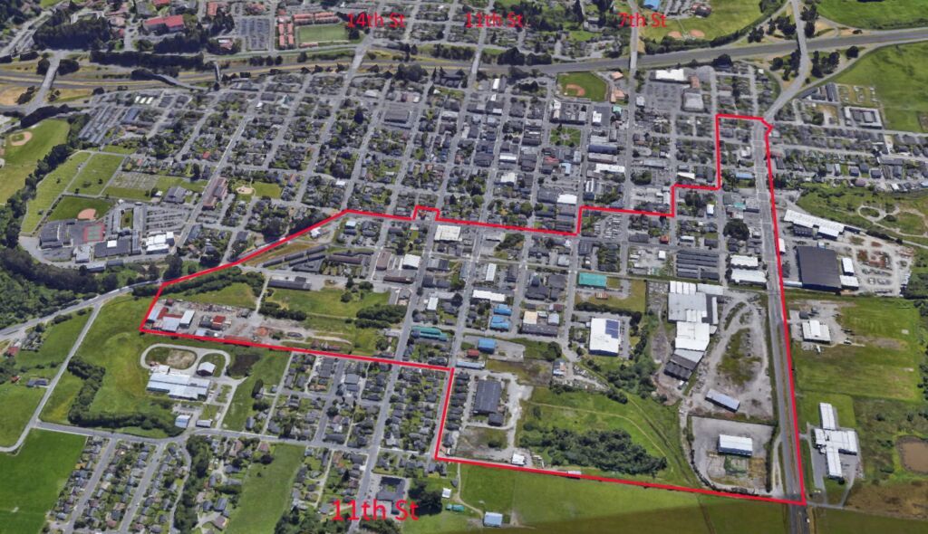
Here are some aerial views of the Gateway area. More views may be added in the future. If you have a request for a certain view that you think would be helpful, please get in touch.

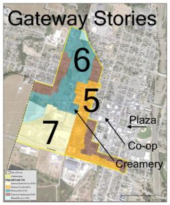
But first, let’s look at the proposed building heights for this area.
There are 4 “Land Use Designations” or Neighborhoods in the current plan. It has been suggested that there be more neighborhood areas, so that new construction can be better designed to fit in with Arcata’s needs for that zone.
In particular, there could be a separate zoning area for the Creamery District.
The aerial views give a more clear vision of the size of the Gateway area, relative to the area of Downtown and Northtown Arcata, and beyond.
Looking North


Looking East


Looking West

Looking West – View of the City

Looking West – Big View with the Pacific

Open Space
In the images above, the land area includes a fair amount of green space — actual grass and trees. In the Gateway plan, a large percentage of that grass/tree/creekside open space will be retained. See the image below, from Page 60 of the December 2021 Draft Plan.

The key on this map is not worded quite right. The red line area is labeled “Private Open Space” but what it really is are the areas where privately-owned public-access spaces could be promoted, with the cooperation of the landholder.

